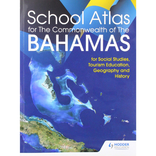
School Atlas For The Commonwealth of The Bahamas
$24.95
In stock
by Hodder Education
Paperback, 80 Pages, Published 2019
ISBN 9781510471078
1510471073 | 1-5104-7107-3 | 978-1510471078 | 978-1-5104-7107-8
Ensure full coverage of the curriculum requirements with an atlas specially created to cover Social Studies, Tourism Education, Geography and History.- Encourage awareness of the region with a specially designed 18-page section of detailed maps of The Bahamas supplemented by up-to-date diagrams, graphs and photographs. Climate, environment, tourism, history, major cities, agriculture, transportation networks and the Family Islands all covered.- Engage students in topical issues with a 14-page Caribbean section that shows The Bahamas in the context of the CARICOM community, focusing on topics that impact all CARICOM citizens including hurricanes, earthquakes, volcanoes, climate, environment and tourism- Introduce a solid foundation in geographical knowledge with detailed maps and facts about all the major countries of the Caribbean.- Secure strong geographical knowledge with comprehensive maps of each of the world’s continents plus a World Data section with facts, figures and flags of every country and features on the Solar System, the Seasons and World Organisations.- Ensure ease-of-use with a four-page easy-to-use index with guidance on how to locate places and an introduction to geographical skills showing how to use a map, the importance of scale and how to measure distances.
Age Range: 9 – 11 years
Publisher: Hodder Education (April 26, 2019)


